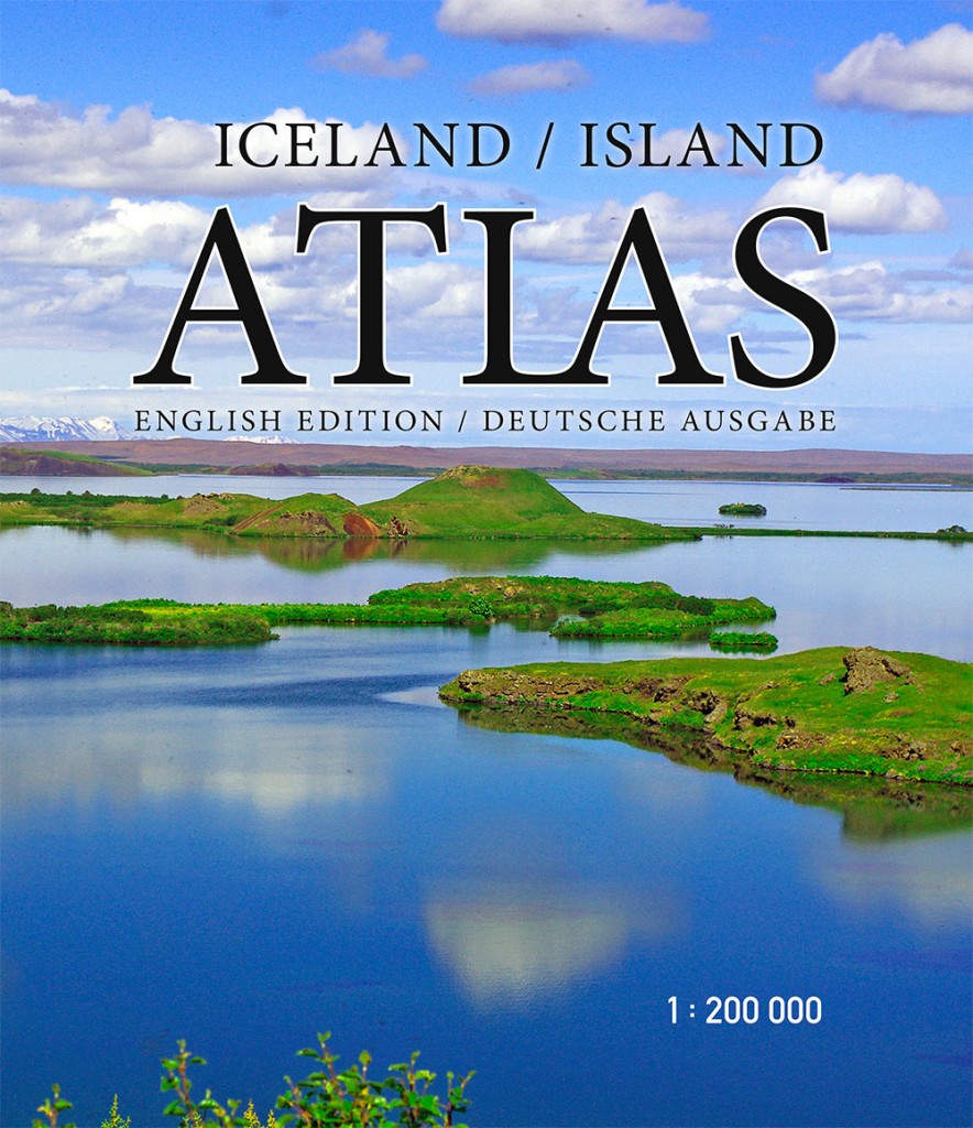
Iceland / Island Atlas – 1:200.000
| Gerð | Útgáfuár | Síður | Verð | Magn | |
|---|---|---|---|---|---|
| Mjúk spjöld | 2017 | 208 | 5.090 kr. |
| Gerð | Útgáfuár | Síður | Verð | Magn | |
|---|---|---|---|---|---|
| Mjúk spjöld | 2017 | 208 | 5.090 kr. |
Um bókina
English edition
This atlas is designed to meet the needs of those who travel around Iceland, and want to get to know the country as well as possible. It comprises 78 new maps to a scale 1:200 000, including 26,600 placenames, which are listed in a detailed index. By use of digital cartographic technology, the geographical features of the country can be depicted in astonishing detail: the map user sees the height of mountains, the depth of valleys, and the wide open spaces, in a spectacular bird’s-eye view.
The atlas also includes 47 indispensible maps of the greater Reykjavík area and other towns, as well as useful information on swimming pools, campsites, museums and galleries, golf courses, bird-watching sites, and road distances. Descriptions and colour photographs of 104 places of natural beauty and historic importance, along with drawings of birds, plants and seashells, will help to make your travels around Iceland unforgettable.
Deutsche Ausgabe
Der Atlas ist auf die Bedürfnisse von Reisenden zugeschnitten, die Island umfassend kennenlernen wollen. Er beinhaltet 78 aktuelle Landkarten im Maßstab 1:200 000 und enthält 26.600 Begriffe, die in einem sorgfältig erstellten Glossar aufgelistet sind. Dank der digitalen Kartographie werden die Landschaften Islands exakt dargestellt, sodass sich jeder Nutzer die Höhe der Berge, die Tiefe der Täler und die Ausdehnung der Wildnis aus der Vogelperspektive leichter vorstellen kann.
Des Weiteren ist der Atlas mit 47 unentbehrlichen Landkarten von der Hauptstadtregion sowie weiteren Städten und Ortschaften ausgestattet, er gibt Auskunft über Schwimmbäder, Campingplätze, Museen, Golfplätze, Vogelbeobachtungspunkte und Entfernungen. Beschreibungen sowie Illustrationen von 104
Naturperlen und historischen Stätten inklusive Zeichnungen von Brutvögeln, Planzen und Muscheln komplettieren den Atlas und machen die Reise durch Island zu einem unvergesslichen Erlebnis.


